













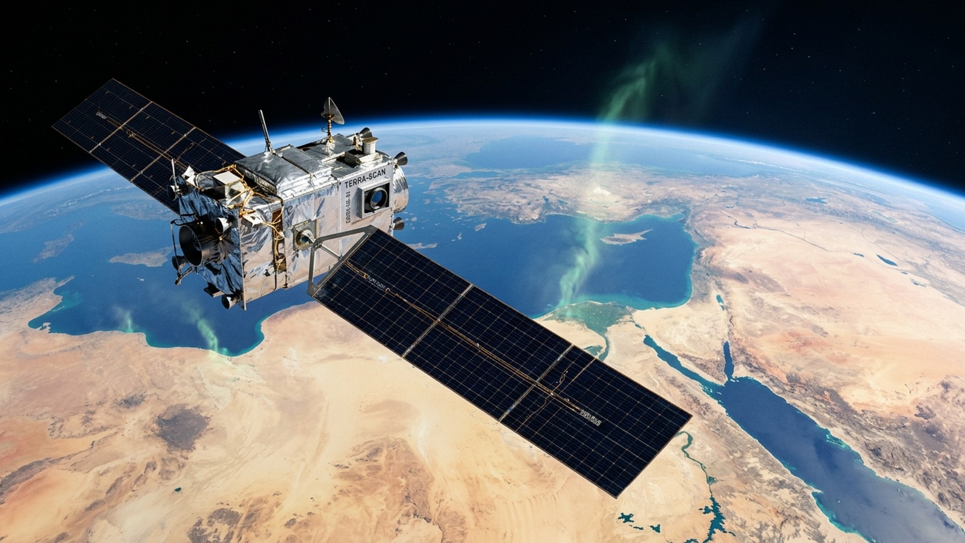

Google and NASA’s Jet Propulsion Laboratory (JPL) introduced MAPL-EMIT on September 9, 2026, a deep-learning model that detects, quantifies, and localizes methane plumes globally from NASA’s EMIT satellite instrument, according to Google’s announcement. Google said the model, trained on 3.6 million physics-simulated methane plumes, detects 50% more plumes than human experts and identifies more than 23,000 additional plumes globally, including plumes at 24 of the world’s 25 largest-emitting landfills.
The system, formally named Methane Analysis and Plume Localization with EMIT, is described in a study in the Proceedings of the National Academy of Sciences (PNAS) authored by researchers at Google Research and JPL, and in a Google Research technical post dated September 1, 2026, by research engineer Vishal Batchu and research scientist Michelangelo Conserva. Batchu also wrote Google’s September 9 announcement.
Methane Monitoring and the EMIT Instrument
Google’s announcement describes methane as a potent greenhouse gas whose warming potential over a 100-year timeframe is 30 times that of carbon dioxide. The study states methane’s 20-year global warming potential is 81 to 86 times that of CO2, attributes roughly 25% of human-induced warming since the start of the industrial era to the gas, and notes an atmospheric lifetime of about nine years. More than 125 countries have committed to a 30% methane emissions reduction by 2030 under the Global Methane Pledge, and the study reports that human activity accounts for 60% of global methane output, split among waste (19%), agriculture (44%), and energy (37%) within that share.
EMIT, the Earth Surface Mineral Dust Source Investigation, operates aboard the International Space Station and was originally designed to map mineral composition in arid regions. The instrument records 285 spectral bands spanning 381 to 2,493 nanometers at 60-meter spatial resolution with an 80-kilometer swath; recording hundreds of distinct bands per pixel exposes the chemical fingerprints of an otherwise invisible gas, the Google Research post explains. The study contrasts that configuration with global mappers such as TROPOMI, which pairs a roughly 2,600-kilometer swath with a resolution of 5.5 by 3.5 kilometers to track background methane concentrations, a scale too coarse to isolate individual sources.
A Vision Transformer Trained on Simulated Plumes
MAPL-EMIT is an end-to-end vision transformer that processes the complete EMIT radiance spectrum to retrieve methane enhancements across all pixels in a scene jointly. The model couples a Swin-v2-S transformer encoder of roughly 30 million parameters with a convolutional decoder in a U-Net-like architecture and performs three tasks simultaneously: quantifying the methane enhancement in every pixel, delineating each plume’s shape and boundaries, and localizing each emission’s source. The study states this includes separating overlapping plumes from neighboring facilities, a scenario it says existing approaches do not capture well.
Because no labeled dataset of millions of real-world plumes exists, the team built a physics-based simulation pipeline that generated 3.6 million synthetic plumes with Lagrangian puff models, which simulate how particles disperse through the air, and injected them into real EMIT scenes using line-by-line radiative transfer with HITRAN spectral data. The researchers partitioned 235,000 EMIT tiles into training, validation, and test sets and trained the model on 32 Google TPU chips for approximately 96 hours. Google Research said the synthetic data exposed the model to varied emission rates, terrains, and atmospheric conditions, improving its generalization to real observations.
Validation on Synthetic and Real-World Benchmarks
On real-world benchmarks, the study reports that MAPL-EMIT captured 84% of hand-annotated NASA EMIT L2B plume complexes across a test set of 1,084 EMIT granules while identifying roughly 1.5 times as many plausible plumes as human analysts. The model’s 3,672 initial detections on those granules fell to 2,209 after filtering to on-land plumes detected in more than 13 of 16 overlapping strided inferences.
To bound the false-positive rate, the team ran the model across 20,000 granules where minimal plumes were expected. The study reports 1,513 detections after filtering, of which 355 were assessed as likely genuine through spectral fit evaluation; the remaining 1,158 unconfirmed detections, mostly over hilly terrain or dense forests, amount to a conservative estimate of about 0.06 false plumes per granule.
The model identified potential plumes at 24 of the world’s 25 top-emitting landfills; the study notes that earlier work found the EMIT L2B product detected potential plumes at 17 of those 25 sites. Against coincident AVIRIS-3 airborne observations, MAPL-EMIT detected two of three resolvable plumes with no false positives and a signal-to-noise ratio of 8.60, versus 1.21 for the resampled AVIRIS-3 matched filter and 0.40 for the standard L2B matched filter. In Stanford controlled-release experiments conducted from August 1, 2024, to December 31, 2025, near a field site in Arizona, the model detected five of seven releases and produced no false positives at the release locations.
On synthetic benchmarks, per-plume precision rose from 0.80 for the weakest plumes to 0.97 for the most intense, recall climbed from 0.33 to 0.93, and mean source-location error was 101 meters. The study reports the model reliably captures plumes corresponding to leak rates of 250 to 500 kg/h at a nominal wind speed of 2.5 m/s, an approximate 2-to-4x improvement over existing models, and reaches a symmetric mean absolute percentage error of 56% on the 1,084 comparison granules, versus 117% for the EMIT L2B plumes.
Limitations, Public Releases, and Next Steps
The authors state that false positives remain an open challenge, particularly in complex terrain, and that MAPL-EMIT shows substantially more false positives than expert-vetted catalogs such as the EMIT L2B plume complexes. Each plume in the released database is tagged as lower or higher confidence based on physics-based spectral fit scores and detection counts across strided inferences, and the authors caution that the catalog is not expected to be complete, since about 16% of the EMIT L2B plume complexes were not captured.
Alongside the paper, Google released the global plume database and methane enhancement rasters as Earth Engine collections, an Earth Engine app for visualizing the data, the trained model and synthetic plume dataset on Kaggle, and an inference library on GitHub. The study was received on April 11, 2026, accepted on August 3, 2026, and published online on September 1, 2026; it appears in PNAS Volume 123, Number 36, dated September 8, 2026.
The authors state that future research will extend the pipeline to multigas and multisatellite retrieval and toward end-to-end emission-rate estimation, which would produce direct leak-rate estimates without post hoc wind integration. The Google Research post notes that NASA’s next-generation imaging spectrometers are planned to increase coverage by a factor of 30 to 50.
Credit: Source link