



• bitcoinBitcoin(BTC)$77,450.00-0.10%
  • ethereumEthereum(ETH)$2,490.28-0.89%
  • tetherTether(USDT)$1.000.01%
  • binancecoinBNB(BNB)$720.20-0.57%
  • rippleXRP(XRP)$1.412.09%
  • usd-coinUSDC(USDC)$1.000.00%
  • solanaSolana(SOL)$101.040.02%
  • tronTRON(TRX)$0.337711-0.38%
  • Figure HelocFigure Heloc(FIGR_HELOC)$1.030.00%
  • zcashZcash(ZEC)$1,142.790.86%
  • HyperliquidHyperliquid(HYPE)$79.21-0.70%
  • dogecoinDogecoin(DOGE)$0.082998-1.32%
  • RainRain(RAIN)$0.013989-7.44%
  • USDSUSDS(USDS)$1.00-0.01%
  • moneroMonero(XMR)$511.08-2.40%
  • whitebitWhiteBIT Coin(WBT)$80.10-0.37%
  • chainlinkChainlink(LINK)$11.440.54%
  • leo-tokenLEO Token(LEO)$8.96-0.04%
  • cardanoCardano(ADA)$0.204563-1.19%
  • stellarStellar(XLM)$0.1923515.26%
  • Ethena USDeEthena USDe(USDE)$1.000.01%
  • daiDai(DAI)$1.000.00%
  • bitcoin-cashBitcoin Cash(BCH)$222.23-0.61%
  • USD1USD1(USD1)$1.000.00%
  • uniswapUniswap(UNI)$6.644.39%
  • litecoinLitecoin(LTC)$52.75-2.36%
  • CantonCanton(CC)$0.095571-0.58%
  • the-open-networkGram (prev. Toncoin)(GRAM)$1.34-0.68%
  • hedera-hashgraphHedera(HBAR)$0.0767750.35%
  • avalanche-2Avalanche(AVAX)$7.501.30%
  • Global DollarGlobal Dollar(USDG)$1.000.01%
  • nearNEAR Protocol(NEAR)$2.431.15%
  • shiba-inuShiba Inu(SHIB)$0.000005-0.63%
  • suiSui(SUI)$0.71-1.14%
  • paypal-usdPayPal USD(PYUSD)$1.000.00%
  • crypto-com-chainCronos(CRO)$0.057267-0.95%
  • BlackRock USD Institutional Digital Liquidity FundBlackRock USD Institutional Digital Liquidity Fund(BUIDL)$1.000.00%
  • tether-goldTether Gold(XAUT)$4,298.16-0.75%
  • BittensorBittensor(TAO)$232.52-0.67%
  • Circle USYCCircle USYC(USYC)$1.140.01%
  • MemeCoreMemeCore(M)$1.09-5.64%
  • Ripple USDRipple USD(RLUSD)$1.000.01%
  • okbOKB(OKB)$112.74-1.13%
  • Ondo US Dollar YieldOndo US Dollar Yield(USDY)$1.140.28%
  • aaveAave(AAVE)$127.251.13%
  • mantleMantle(MNT)$0.583.12%
  • BitwayBitway(BTW)$0.71-5.74%
  • AsterAster(ASTER)$0.69-1.30%
  • pax-goldPAX Gold(PAXG)$4,299.22-0.82%
  • World Liberty FinancialWorld Liberty Financial(WLFI)$0.057074-1.43%
TradePoint.io
  • Main
  • AI & Technology
  • Stock Charts
  • Market & News
  • Business
  • Finance Tips
  • Trade Tube
  • Blog
  • Shop
No Result
View All Result
TradePoint.io
No Result
View All Result

Snow develops Thursday into Thursday night with a larger weekend storm incoming

March 21, 2024
in Market & News
Reading Time: 7 mins read
A A
Snow develops Thursday into Thursday night with a larger weekend storm incoming
ShareShareShareShareShare

Updated 9:15 a.m.

Snow will develop west and expand east by Thursday evening and overnight. Friday will be mostly dry before more snow develops late Saturday into Sunday.

First of two systems arrives Thursday 

The first of two snow-producing systems arrives late Thursday. A winter weather advisory is posted for later in the day Thursday into Thursday night and early Friday for much of central and southeastern Minnesota into western Wisconsin. 

YOU MAY ALSO LIKE

Reddington: What people misunderstand about the Clancy trial

Missouri voters face confusion over congressional map ahead of midterms

A winter weather advisory goes into effect later in the day Thursday into Friday morning

NOAA, via Pivotal Weather

Light snow will develop in western Minnesota and expand east through the day, reaching eastern Minnesota by evening. The snow will be a relatively quick shot in the overnight hours, wrapping up by early Friday.

thu-fri 9a

Forecast precipitation 1 p.m. Thursday through 9 a.m. Friday

NOAA, via Pivotal Weather

A wide area of snowfall will occur across central and southeastern Minnesota primarily. 

Your gift today creates a more connected Minnesota. MPR News is your trusted resource for election coverage, reporting and breaking news. With your support, MPR News brings accessible, courageous journalism and authentic conversation to everyone – free of paywalls and barriers. Your gift makes a difference.

MNsnow 6a

Forecast snowfall late Thursday into early Friday

National Weather Service

There is still some variation in the various forecast computer model scenarios for snowfall output. We will watch to see if some potentially heavier bands of 4 to 5, even 6 inch amounts are possible in central and southeastern Minnesota.

snow models TONIGHT

Various forecast model scenarios for Thursday night snowfall

NOAA, via Pivotal Weather

While we have one eye on Thursday’s system, we have another on a bigger, potentially more aggressive storm that will start late Saturday and come in two waves into Tuesday. 

sat-tue 9a

Forecast precipitation 7 p.m. Saturday through 7 p.m. Tuesday

European Centre for Medium-Range Weather Forecasts, via Pivotal Weather

Complicating the second system will be warmer air arriving Monday, which will turn some snow to rain in portions of southern and southeastern Minnesota. This could have a big impact on snow totals and determining where the heaviest amounts will fall.

storm timeline weekend

Timeline of the storm and precipitation type this weekend into early next week

National Weather Service

Regardless of whether we see rain or not Monday into Tuesday, significant snow is still likely to fall. The probability of more than 6 inches (winter storm criteria) is likely for much of southern Minnesota.

snow PROB

Probability of more than 6 inches of snow Sunday into Tuesday

National Weather Service

While our forecast models vary on where the heaviest snow will fall, they all agree on significant snowfall totals.

Pictured below are forecasts for 24-hour snowfall totals from Sunday into early Monday, one of the heavier periods of snowfall. Keep in mind there will likely be additional rain and snow totals later Monday into Tuesday.

sun-mon snow models

Forecast model scenarios for Sunday into Monday snowfall potential. There will likely be additional snowfall Monday night into Tuesday.

NOAA, via Pivotal Weather

If you’re looking for a return to spring temperatures, the European Centre for Medium-Range Weather Forecasts model offers some hope by the end of next week. It’s an outlier right now, but pushes temperatures to near 60 degrees in southern Minnesota.

This will all depend on how much snow falls and where, however. You can see the variations in the temperatures based on this possibility already:

EUR high next FRI

Forecast highs potentially by next Friday, March 29

European Centre for Medium-Range Weather Forecasts, via WeatherBELL Analytics

Credit: Source link

ShareTweetSendSharePin

Related Posts

Reddington: What people misunderstand about the Clancy trial
Market & News

Reddington: What people misunderstand about the Clancy trial

September 15, 2026
Missouri voters face confusion over congressional map ahead of midterms
Market & News

Missouri voters face confusion over congressional map ahead of midterms

September 15, 2026
Reddington says Trump has the ability to put pressure on DA Tim Cruz
Market & News

Reddington says Trump has the ability to put pressure on DA Tim Cruz

September 15, 2026
Current with Christine Romans – Sept. 9 | NBC News NOW
Market & News

Current with Christine Romans – Sept. 9 | NBC News NOW

September 15, 2026
Next Post
Capitol police experiencing low morale, upsurge in attacks, chief says

Capitol police experiencing low morale, upsurge in attacks, chief says

Leave a Reply Cancel reply

Your email address will not be published. Required fields are marked *

Search

No Result
View All Result
Police officer rescues child from pond in Minnesota

Police officer rescues child from pond in Minnesota

September 15, 2026
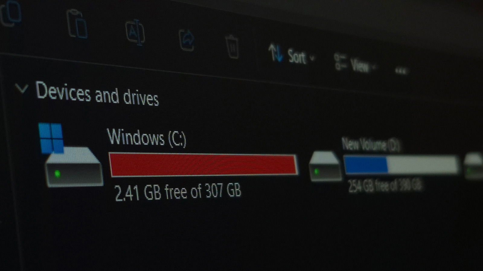
Is A 256GB SSD Better Than A 1TB Hard Drive? It Depends How You’re Using It

Is A 256GB SSD Better Than A 1TB Hard Drive? It Depends How You’re Using It

September 12, 2026
Losing the most people on 9/11 brought Cantor Fitzgerald closer together

Losing the most people on 9/11 brought Cantor Fitzgerald closer together

September 9, 2026

About

Learn more

Our Services

Legal

Privacy Policy

Terms of Use

Bloggers

Learn more

Article Links

Contact

Advertise

Ask us anything

©2020- TradePoint.io - All rights reserved!

Tradepoint.io, being just a publishing and technology platform, is not a registered broker-dealer or investment adviser. So we do not provide investment advice. Rather, brokerage services are provided to clients of Tradepoint.io by independent SEC-registered broker-dealers and members of FINRA/SIPC. Every form of investing carries some risk and past performance is not a guarantee of future results. “Tradepoint.io“, “Instant Investing” and “My Trading Tools” are registered trademarks of Apperbuild, LLC.

This website is operated by Apperbuild, LLC. We have no link to any brokerage firm and we do not provide investment advice. Every information and resource we provide is solely for the education of our readers. © 2020 Apperbuild, LLC. All rights reserved.

No Result
View All Result
  • Main
  • AI & Technology
  • Stock Charts
  • Market & News
  • Business
  • Finance Tips
  • Trade Tube
  • Blog
  • Shop

© 2023 - TradePoint.io - All Rights Reserved!